Ravine Park
Ravine Park is a large ninety-acre park that starts on the west end near the downtown and extends about one and one-half miles east. The western part of the park is a wooded area with a stream, called Brady’s Branch, running through it. It also contains a one-half mile nature trail with five pedestrian bridges.
This western section of the park has many springs that keep the stream flowing constantly. The middle section is approximately 30 acres that contains a very large shelter, two small shelters, picnic tables, park benches and the Jackson Street trail that runs behind the large pavilion.
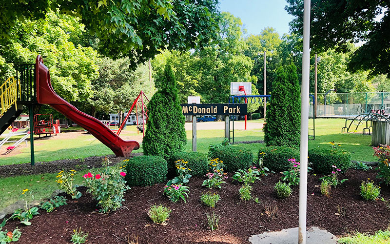
Playground equipment includes, swings, climbers, slides, basketball goal, a 9-hole frisbee golf course and horseshoe pitching. The eastern section of the park, Arms Woods, contains thirty-five acres of woods with trails. A new bridge was dedicated to former Mayor Butch Swift in Arms Woods in 2016. This bridge can be found in the northwest section of the Arms Woods trail system.
Reservations
The pavilions can be reserved for private use by calling the City Clerks’ Office, M-F, 8-4. There A $50.00 fee to reserve them but to guarantee that you get the pavilion to yourself, you must make a reservation at the Clerk’s Office. You may contact the Clerk’s Office at (765) 762 2467.
Public Bathrooms
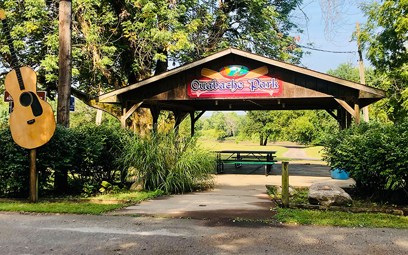
The public bathrooms at Ravine and Ouabache Parks are open from May 1st through October 1st weather permitting. Special arrangements outside of these dates may be possible, please call the Clerk’s office at 765-762-2467 to inquire.
In Ravine Park, you will find three distinct trail systems. See the City map on our website to locate Ravine Park if you have never visited before!
The Nature Trail is one half mile long in one direction from the western entrance behind Cottrell Village and the eastern entrance at the bottom of Kenneth Freed Blvd. You pass over five foot-bridges which cross over a winding stream in the park. The trail was resurfaced in November 2017 in part with funds from the Greenspace & Art Fund of the Attica Community Foundation. You will find benches and a picnic table along the nature trail path. Find the map of the trail here.
Behind and to the south of the large pavilion in Ravine Park you will find the Jackson Street Trail. It is a quarter mile long. See the map of the trail here.
We are extremely fortunate that the city council and Mayor Will B. Reed had the foresight to purchase the 35 acres from the Arms brothers in 1911 and make it part of Ravine Park. The Arms Woods Trail had been used very sparingly until recently, when a local family donated the money to resurface the 1.3 miles of trails that exist there. A parking lot at the north entrance of the trail, at the intersection of Avenue Eight and Forest Drive, was added in 2016. There are five foot-bridges located in Arms Woods. You will find benches placed along the rolling trails. See the map of the trail here.
Signs mark all three trail systems. You will find that they are close in proximity to each other. Please use trash cans placed throughout the park.
Bathrooms at the large pavilion are only open from late April to late September.
Please enjoy your walk or run in the woods on the trails in Ravine Park!